Tuesday, 15 April 2014
7.70 miles/12.4km
3380ft/1030m ascent
Trail 100 #30
Wainwright #136
I love the names of these hills, Wetherlam (2,503ft/763m), Swirl How (2,631ft/802m), Grey Friar (2,536ft/773m); makes me wonder who named them and why.

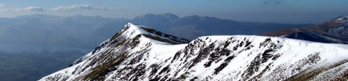
Starting at the foot of the Wrynose Pass we forded the River Brathay and crossed to the track running to the disused mine near Greenburn Beck. The path shown on the map turned out to be a series of sheep tracks running across the rocky fell-side, and as we climbed the views of Pike O’Blisco (2,313ft/705m), Cold Pike (2,300ft/701m) and Crinkle Crags (2,818ft/859m) opened up; and the sun got hotter.

Once we reached the col we joined the obvious path over the crags to the top of Wetherlam. Despite the sunshine there was a strong breeze blowing and the air was cold. Here you can see Lake Windermere, the Helvellyn range across the Langdale valley and the black cliffs of Swirl How, Brim Fell (2,612ft/796m) and The Old Man of Coniston (2,635ft/803m).


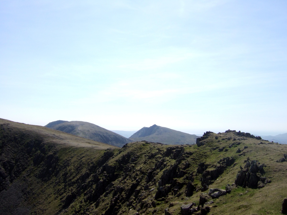
Our second climb of the day is the ascent of the craggy Prison Band to the summit of Swirl How, and the view changes to reveal Levers Water nestling at the foot of Brim Fell with Coniston Water and Morecambe Bay beyond.


From Swirl How an expanse of grass drops away and then rises to the rock covered top of Grey Friar. The view of Scafell (3163ft/964m), Scafell Pike (3,209ft/978m) and Dow Crag (2,552ft/778m), and down into Eskdale and Dunnerdale is spectacular and one of the best in the Lake District.
 We paused at the memorial for the crew of a Halifax bomber who died in a crash on Great Carrs (2,575ft/785m) during World War II, and then followed the ridge down, before the steep decent to the Wrynose Pass.


We sat in the warm sunshine and ate some food, watching a film crew recording a small part of a hill walking documentary film, the two presenters wearing full winter gear (for continuity) in the glorious afternoon sunshine. We walked back down the road, stopping to photograph the Three Shires Stone, an old boundary marker showing where Lancashire used to extend far North before the county lines were re-drawn in the 1970s.

Route
From the Wrynose Pass outside Little Langdale (NY292032)

