Saturday, 31 May 2014
10.8miles/17.4km
2130ft/650m ascent
Wainwright #151, #152, #153, #154 & #155
Tove, noun
1) A Scandinavian female name (occasionally male).
2) A fictional creature created by Lewis Carroll (frequently “slithy”).
3) High Tove, a mountain in the Lake District (“shockingly wet” and “without any redeeming feature”).
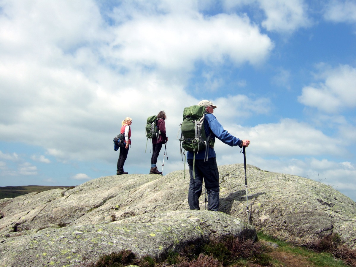
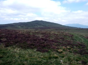
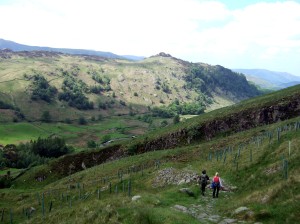
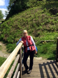
We read the warnings in the Wainwright’s guidebook, but set out anyway to walk the ridge that separates Thirlmere from Derwent Water. The photograph shows three perplexed fell walkers gazing over the ‘tove’ trying to spot a slightly less soggy route through the mire. We encountered few other walkers on this route, and two of them had been in over their knees in the swamp.
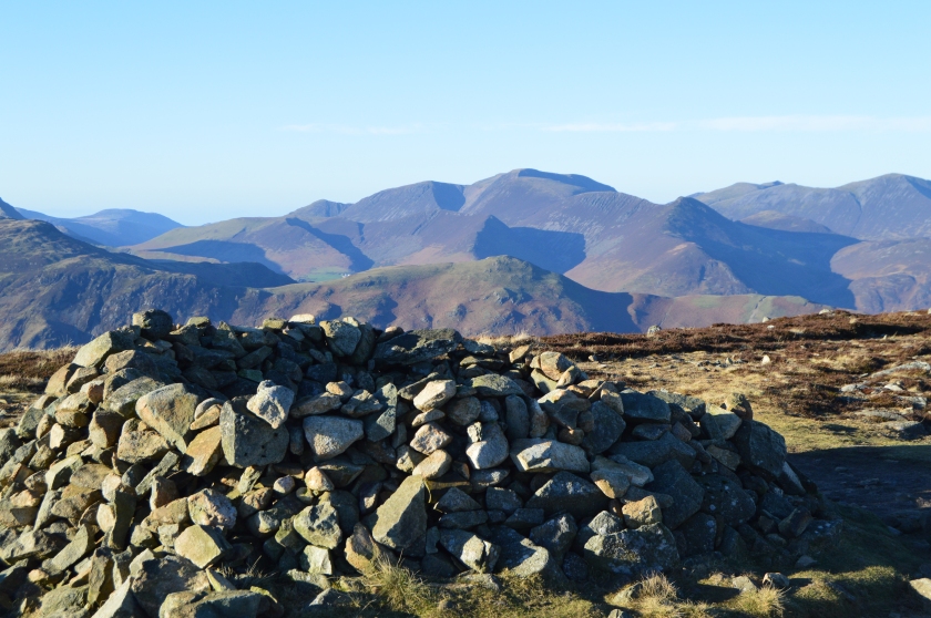
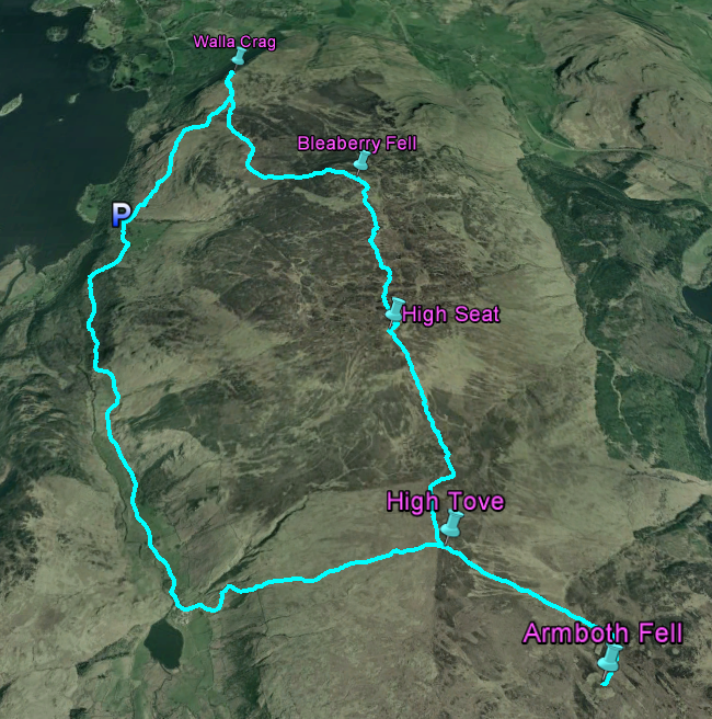
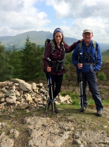
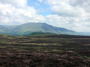
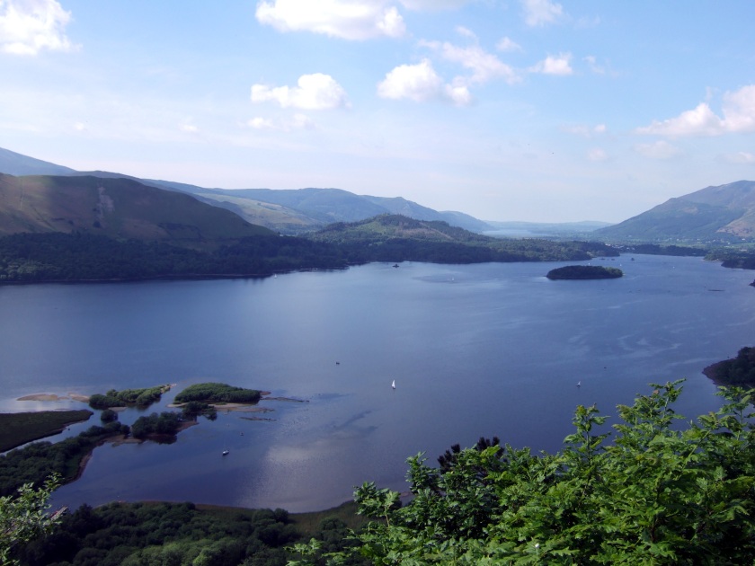
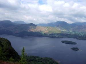
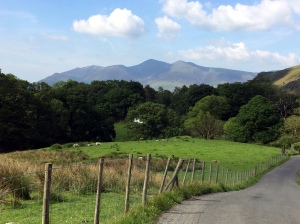
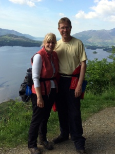
Pat and Jim joined us as we walked from Ashness Bridge, gently climbing to Walla Crag (1243ft/379m) with extensive views of Skiddaw (3054ft/931m), Blencathra (2848ft/868m), Derwent Water and the fells beyond.
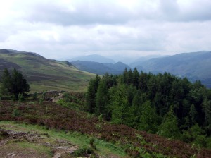
From this point onwards the ground got progressively wetter as we climbed for Bleaberry Fell (1936ft/590m) and then the highest hill on the walk – High Seat (1995ft/608m).
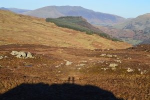
We spent the next two hours in an amusing stroll through the marshes of High Tove (1690ft/515m) and Armboth Fell (1572ft/479m) stopping when Pat and Jim (keen amateur naturalists) pointed out an interesting plant or moth. (Once a tiny feature has been pointed out, you start noticing it everywhere).
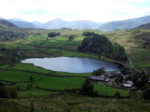
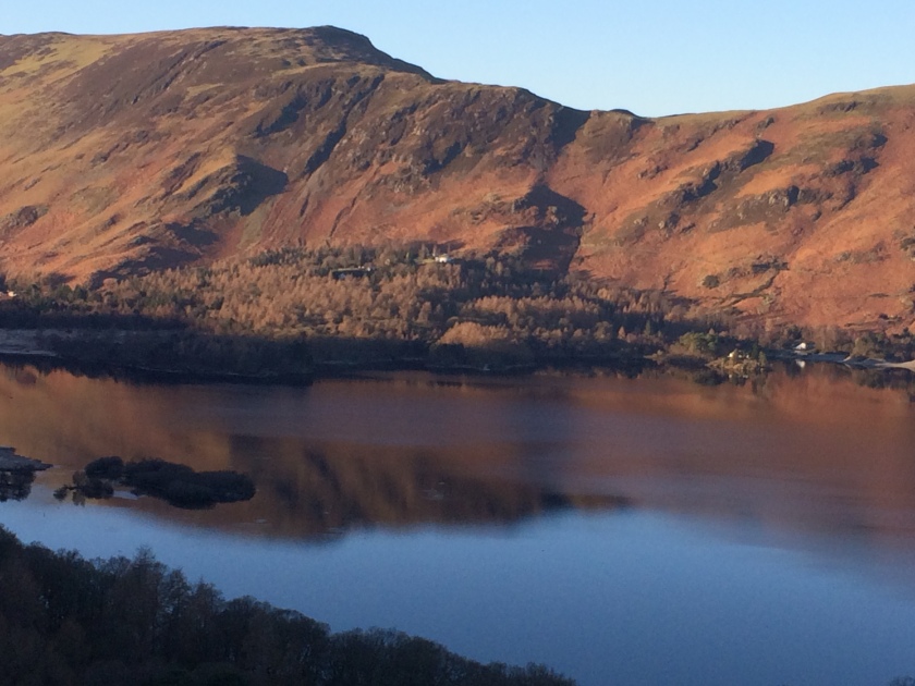
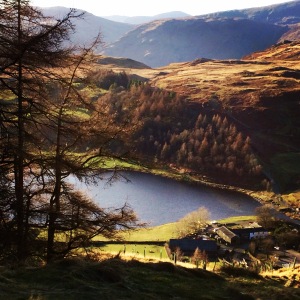
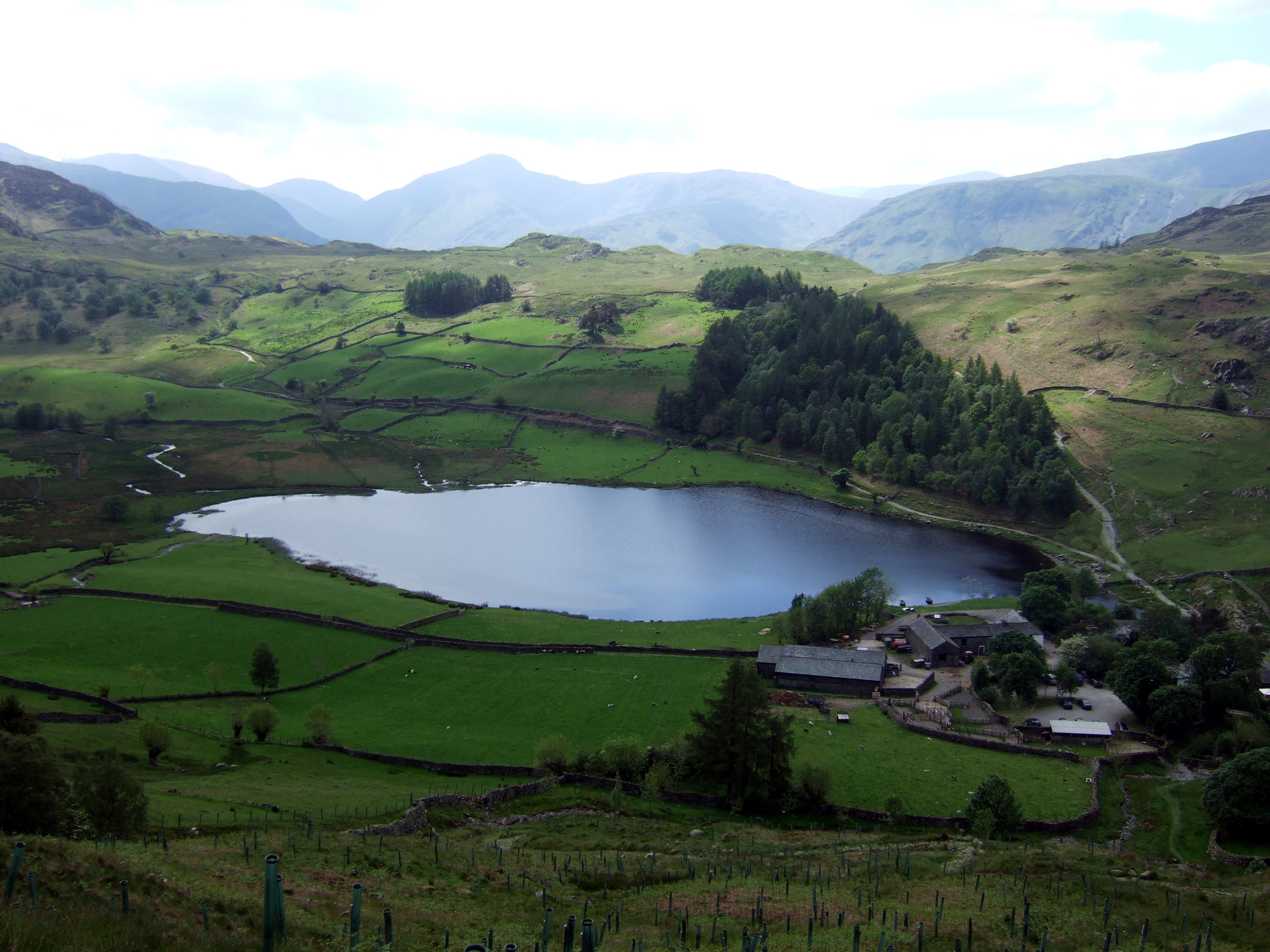
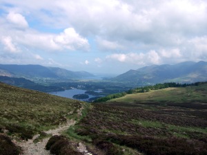
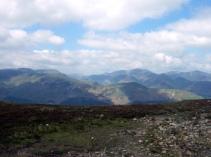
Leaving High Tove behind us we walked down an increasingly dry path to Watendlath and a cup of tea to celebrate our dry feet. By now the sun was bright and warm and the walk back provided some fabulous views of Derwent Water.
Route
From the National Trust car park at NY269197.